Weather data & microclimate :
Weather Underground
Downloads
10,000,000+
Version
Latest
Advertisement
Click to download now, finish the installation quickly, and directly unlock the "all-round experience"
Advertisement
Screenshots
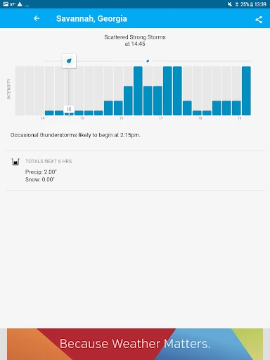
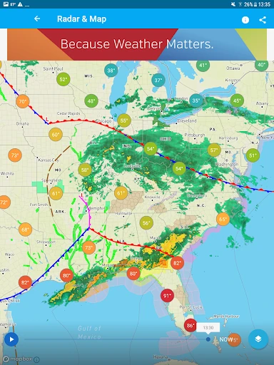
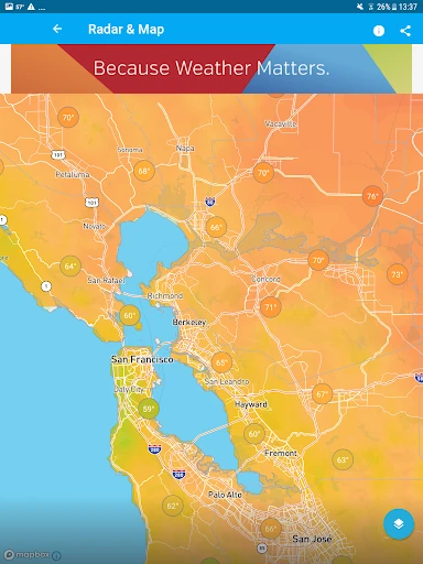
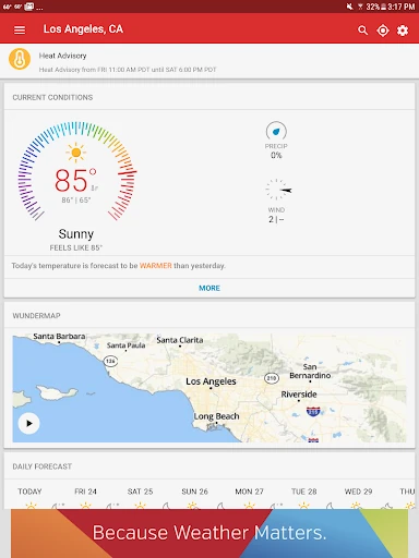
Click to download now, finish the installation quickly, and directly unlock the "all-round experience"
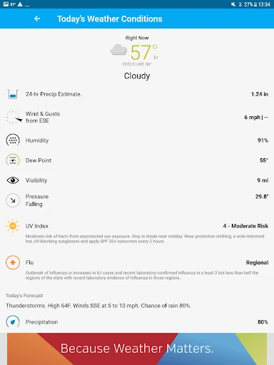
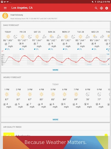
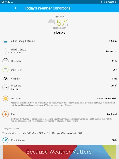
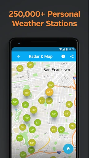
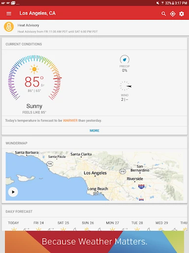
Weather Underground remains a titan in the meteorological category by shifting the focus from regional reporting to precise "Weather data & microclimate" insights. By leveraging a proprietary network of over 250,000 personal weather stations (PWS), the app fills the critical gap left by traditional services that rely solely on airport-based data. In the current weather landscape, it stands out as the professional-grade choice for users who require neighborhood-level accuracy rather than city-wide generalizations.
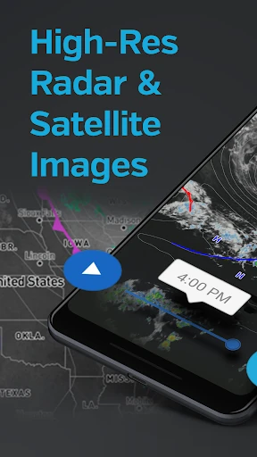
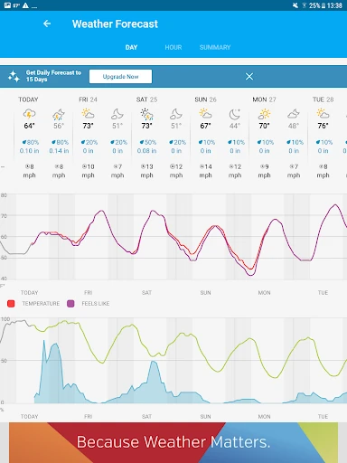
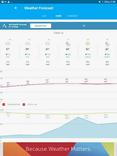
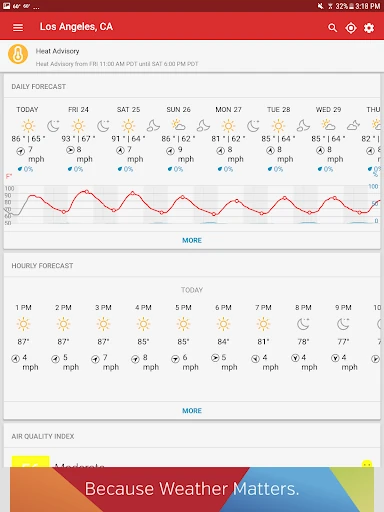
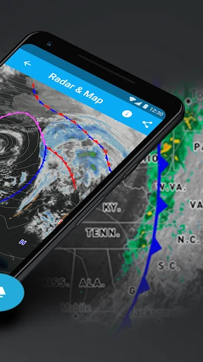
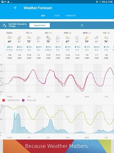
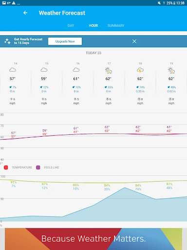
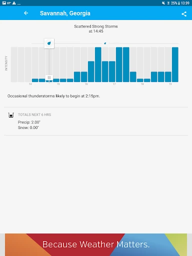
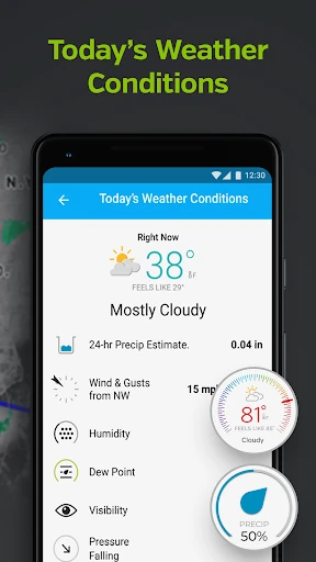
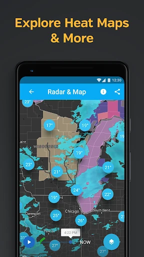
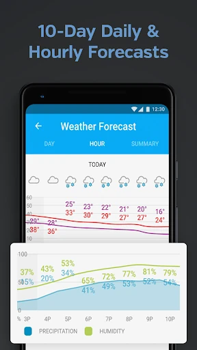
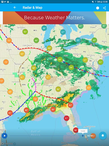
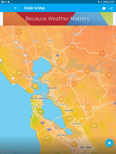
The interface of Weather Underground is designed for the data-hungry user. While it offers a sophisticated aesthetic with both light and dark modes, its primary focus is on information density. The use of high-resolution satellite imagery from GOES-16 and interactive radar overlays creates a rich visual experience, though the sheer volume of data may present a slight learning curve for casual users. The navigation is logical, prioritizing current conditions while keeping deep-dive maps and 10-day forecasts easily accessible.
While the app is a powerhouse of data, the transition between different map layers could be smoother to improve performance on mid-range devices. Additionally, the ad placement in the free tier occasionally disrupts the flow of the microclimate data cards; a more integrated, less intrusive ad model would enhance the overall user experience without compromising revenue.
Weather Underground is the definitive tool for outdoor enthusiasts, gardeners, pilots, and anyone whose daily routine is sensitive to "Weather data & microclimate" shifts. It is not just another weather app; it is a localized environmental monitor. For users who find standard weather apps too vague, this is the gold standard for neighborhood-level forecasting.