
Advertisement
Click to download now, finish the installation quickly, and directly unlock the "all-round experience"
Advertisement
Screenshots
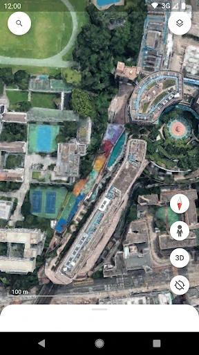
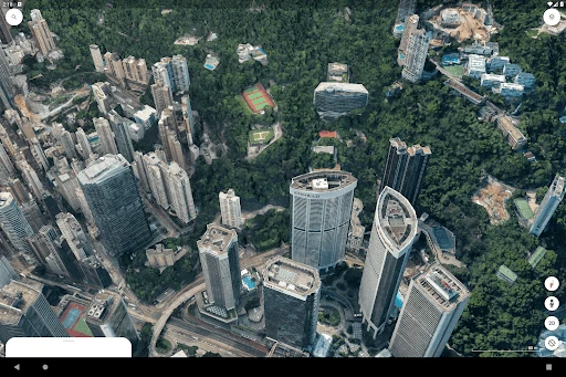
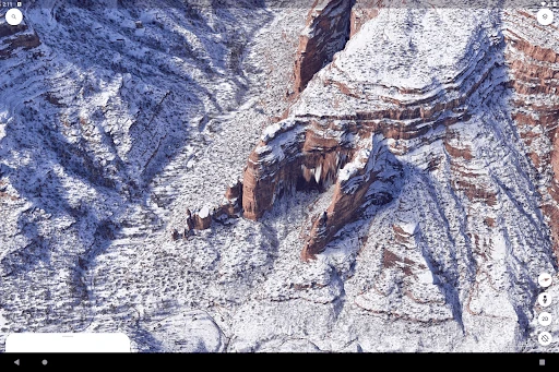
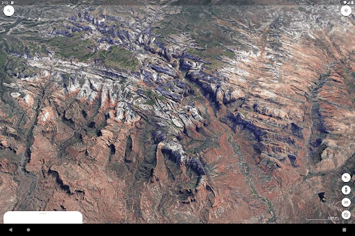
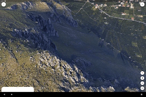
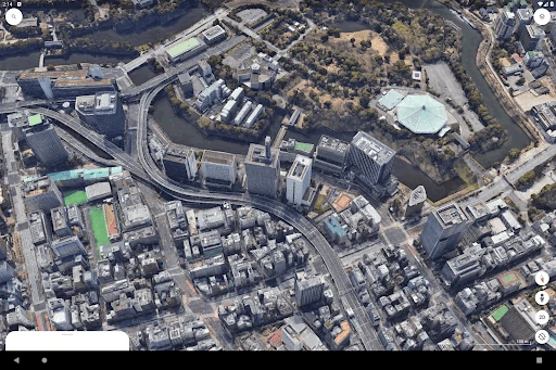
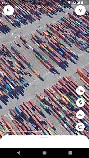
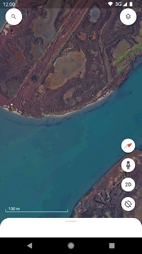
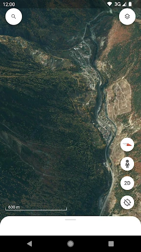
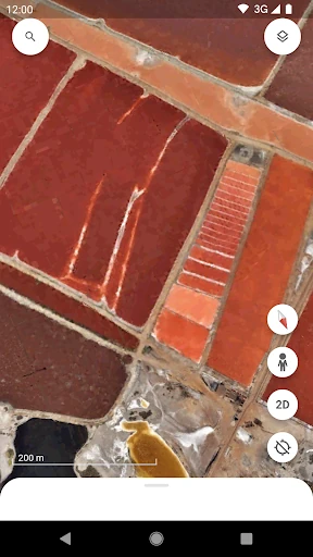
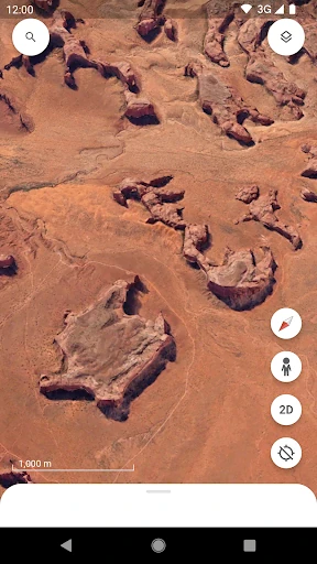
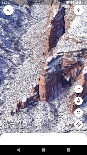
Click to download now, finish the installation quickly, and directly unlock the "all-round experience"
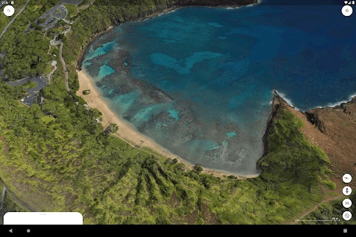
Google Earth remains the undisputed titan of geospatial exploration, offering an unparalleled window into our planet's geography. Within the Travel & Local landscape, it transcends mere navigation by providing a rich, educational, and immersive platform that allows users to traverse the globe virtually. As a sophisticated evolution of traditional mapping, it serves as both a powerful research tool and a source of digital wanderlust, setting a high benchmark for visual fidelity and data integration in mobile applications.
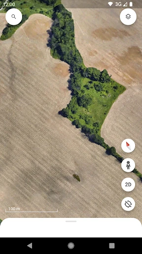
The user interface of Google Earth is a masterclass in minimalist design, prioritizing the visual "globe" over complex menus. Navigating the world is intuitive, utilizing familiar gestures like pinching to zoom and two-finger swipes to tilt the camera. In the context of Travel & Local apps, the transition from a global view to street-level detail is remarkably fluid. However, the depth of features—specifically the mapping and collaboration tools—can occasionally feel buried, requiring a brief period of discovery for non-technical users to master the full suite of creation options.
The next update should focus on optimizing the "Creation" suite for mobile users, making it easier to add data points and layers without needing a desktop. Additionally, an enhanced offline mode that allows users to cache specific 3D regions would significantly increase its utility for travelers visiting remote landmarks where cellular data is unavailable.
Google Earth is an essential tool for educators, researchers, and curious travelers who want to see more than just a blue dot on a 2D grid. It is the perfect companion for anyone planning a complex journey or seeking to understand the geographical context of a new location. While it requires a modern device to run smoothly, it remains the most comprehensive and visually stunning way to explore the world from the palm of your hand.